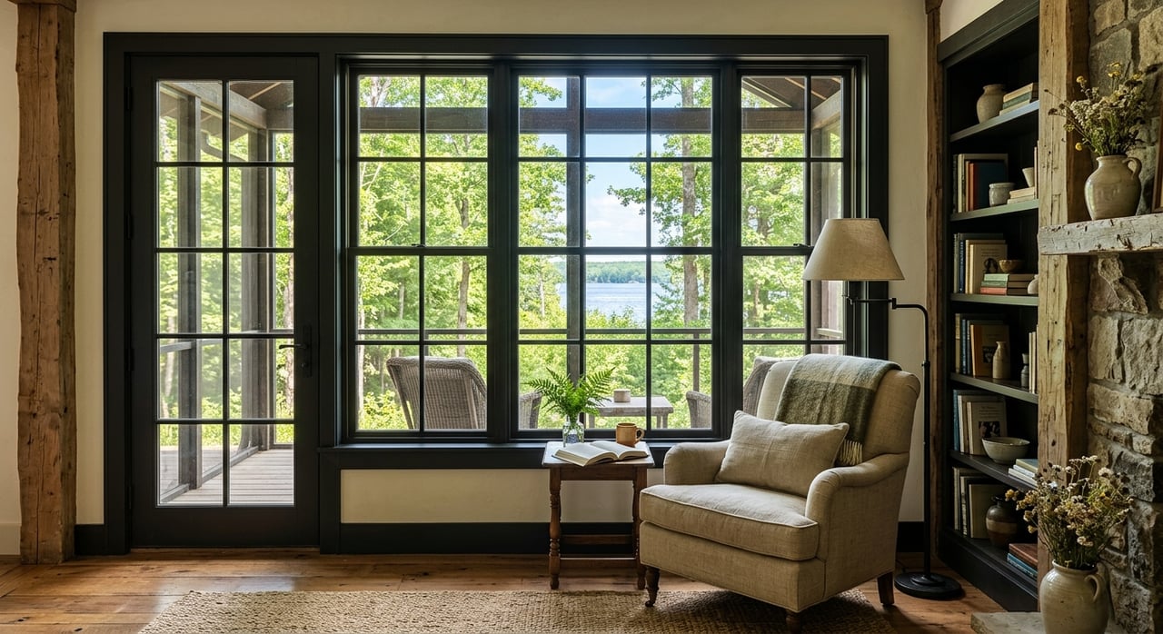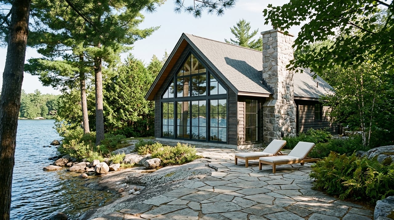
Planning a new cottage, addition, or boathouse on Lake Muskoka? The most expensive surprises often come from what you cannot see on a listing: zoning rules, shoreline setbacks, and permits. If you understand these early, you can shape a design that fits the land and move through approvals with confidence. In this guide, you’ll learn how setbacks are measured, what typical numbers look like, how rules vary around the lake, and a step-by-step checklist to de-risk your plans. Let’s dive in.
What controls your build on Lake Muskoka
Municipal jurisdiction
Lake Muskoka spans three municipalities. Most of the shoreline sits in the Township of Muskoka Lakes, the southeast corner is in the Town of Gravenhurst, and a small area near the Muskoka River mouth is in the Town of Bracebridge. Practically, the controlling zoning and most site-level rules are set by each municipality through their Official Plans and Zoning By-laws. Start with the local planning page for your property’s municipality, such as the Township of Muskoka Lakes property development hub or the Town of Gravenhurst planning portal for contacts and applications.
- Explore Muskoka Lakes property development resources: Township of Muskoka Lakes planning
- Find Gravenhurst planning contacts and applications: Town of Gravenhurst planning
Official Plan vs Zoning vs Site Plan
Think of the policy stack in three layers:
- Official Plan: sets policy goals like shoreline protection, vegetation retention, and general minimum setbacks. Municipal planners apply these policies when assessing changes. You can see this approach in Gravenhurst’s Waterfront policies in staff reports.
- Zoning By-law: implements numeric rules. This is where you find minimum setbacks, lot coverage, frontage requirements for boathouses, and permitted uses.
- Site Plan Control or Site Alteration permits: add design, grading, and vegetation requirements for certain properties. Muskoka Lakes also regulates tree conservation and site alteration in shoreline areas.
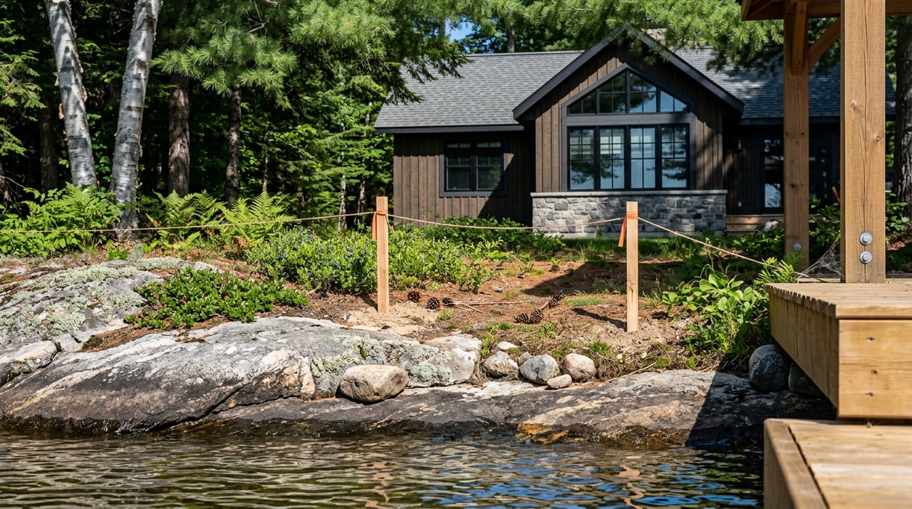
Setbacks on the shoreline
How setbacks are measured
Setbacks are usually measured from a water reference such as the High Water Mark or an official lake reference line. Definitions vary by municipality, so always check the local by-law language. Gravenhurst staff materials refer to a 30 metre shoreline setback policy and define how water levels are used in practice in their Waterfront sections.
- See how Gravenhurst frames Waterfront setbacks in staff reports: Gravenhurst Waterfront policy example
Dwelling and septic setbacks
Primary dwellings on waterfront lots commonly must sit 20 to 30 metres back from the water (example values, confirm on your parcel via municipal zoning and GeoHub). Gravenhurst’s Waterfront policies explicitly guide a 30 metre setback for primary development, with flexibility during redevelopment where the full 30 metres is not feasible.
Septic systems need careful placement. Many Muskoka materials require about 30 metres of separation between leaching beds and the high water mark (example value, confirm in your municipality’s code). Tanks or other components may be allowed closer, but leaching beds often hold to the larger setback.
- Review common septic separation language in regional summaries: Leaching bed setback example
Natural shoreline buffers and vegetation
Planning policy in Muskoka aims to keep shorelines green. Many Official Plan materials call for naturalized shoreline buffers in the 15 to 30 metre range and encourage retaining most of the immediate shoreline in natural cover (example values, verify locally). These goals are often backed by tree conservation and site alteration by-laws. In the Township of Muskoka Lakes, you will likely need permits for significant tree cutting or grading within the shore zone.
- Understand local tree and site alteration rules: Muskoka Lakes Tree Conservation and Site Alteration
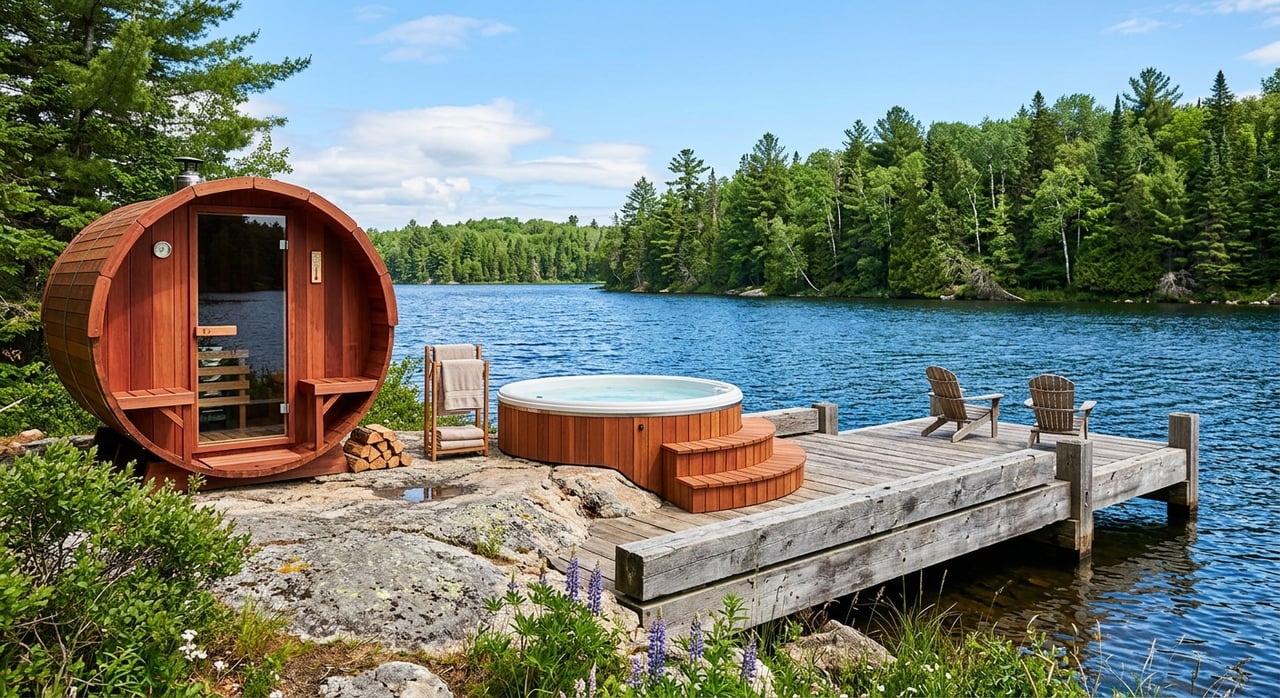
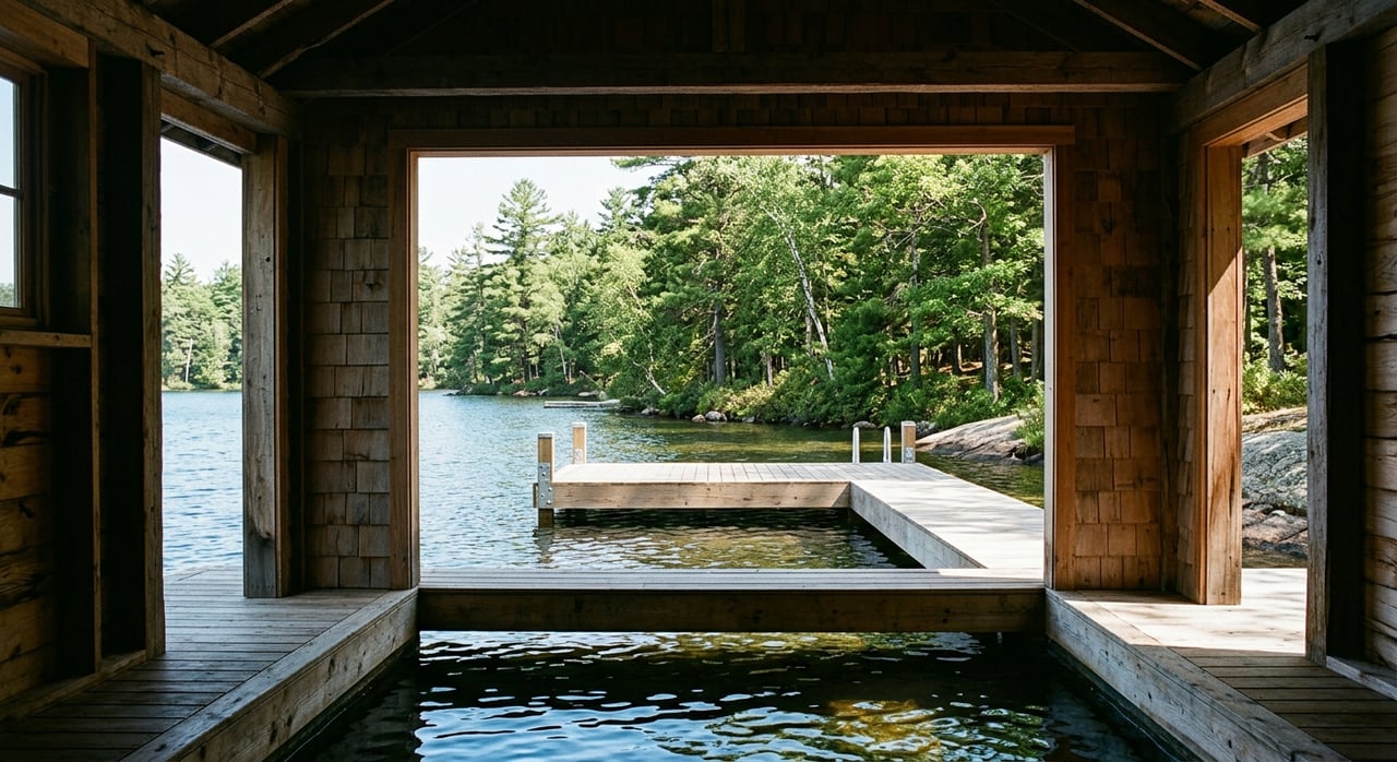
Docks, boathouses, and coverage
Dock and boathouse rules
Shoreline structures are tightly regulated and can differ by zone, frontage, and lake segment. Typical standards used in Muskoka review materials include limits on how far docks can project, maximum cumulative dock width as a portion of frontage, and frontage thresholds for boathouses. A common review example is keeping cumulative dock width to 25 percent of lot frontage, and some municipalities require a minimum frontage, such as 60 metres, before a boathouse is permitted (example values, confirm in the zone table for your parcel).
If your project involves in-water work, contact Fisheries and Oceans Canada early. Certain activities may require review or authorization to protect fish habitat.
- See representative standards used in zoning reviews: Dock and boathouse rule examples
- Plan for fish habitat compliance: DFO Projects Near Water
Shoreline lot coverage and legal non-complying
Many municipalities also cap how much built form you can place in the first band along the shore. A common drafting example is limiting structures within the first 60 metres to about 10 percent of the lot area, with different limits beyond that zone (example values, confirm on your parcel). If you are redeveloping, check whether existing buildings closer to the water are legal non-complying. You can often repair or modestly alter these, but expanding closer to the water or increasing non-compliance usually needs a variance.
- Coverage examples used in review materials: Shoreline coverage example
- How legal non-complying is evaluated in practice: Gravenhurst Committee report example
Why rules vary around the lake
Township of Muskoka Lakes
The Township uses a comprehensive Zoning By-law and actively manages shoreline change through tree conservation, site alteration, and sewage system programs. The Township has been updating its zoning to align with a new Official Plan, so always confirm the current consolidated wording and any site-specific exceptions for your lot.
- Start here for zoning by-law access and contacts: Township of Muskoka Lakes planning
Town of Gravenhurst
In Gravenhurst’s Waterfront Area, policy emphasizes preserving vegetation and sitting new primary buildings about 30 metres from the water where feasible. For older cottages closer to the shoreline, staff look for the greatest practical setback and a net improvement in shoreline conditions when considering applications.
- Explore local policy and applications: Town of Gravenhurst planning
Town of Bracebridge
A small portion of Lake Muskoka near the river mouth sits in Bracebridge. Here, shore road allowances are a key factor. Many waterfront lots front an unopened public shore road allowance that remains in municipal ownership unless it has been closed and conveyed. If you plan shoreline work or have encroachments, confirm ownership and the closing process with the Town.
- See shore road allowance and permit guidance: Town of Bracebridge permits and applications
Your step-by-step feasibility checklist
Use this to quickly scope site potential before you commit to drawings or timelines.
Confirm the municipality and pull mapping.
- Use the District’s GeoHub and municipal web maps to identify your Official Plan designation, zoning code, and any overlays like Environmental Protection, flood elevation, or wetlands. A District overview of GeoHub explains the tool’s value.
- Resource: District GeoHub overview
Order the survey and run a municipal record search.
- Verify lot lines, shoreline structures, and whether a shore road allowance exists in front of your lot. A record search can reveal previous permits, legal non-complying status, and any site plan agreements.
Read the zoning section that applies to your waterfront zone.
- Pull the exact numeric rules for your parcel: front and side setbacks, overall and shoreline band lot coverage, maximum height and GFA, minimum frontage for boathouses, dock projection and width. Keep a working sheet of these figures for design checks.
- Resource: Township of Muskoka Lakes planning
Check Official Plan shoreline policies.
- Policies guide how staff evaluate variance and rezoning requests. Gravenhurst Waterfront policies, for example, speak to 30 metre setbacks and vegetation retention objectives.
- Resource: Gravenhurst Waterfront policy example
Confirm environmental and federal triggers.
- If mapping shows fish habitat, wetlands, or other sensitive features, expect studies and review. Any in-water work should be discussed with DFO early.
- Resource: DFO Projects Near Water
Factor in tree conservation and site alteration permits.
- The Township of Muskoka Lakes requires permits for certain shoreline tree removal and grading. Build time for permits and potential securities into your schedule.
- Resource: Tree Conservation and Site Alteration
Test septic feasibility.
- Many Muskoka materials call for roughly 30 metres from the high water mark to the leaching bed. Larger builds or bedroom increases may require upgraded treatment systems.
- Resource: Leaching bed setback example
Consider water-level context and flood risk.
- Water levels on Lake Muskoka are managed under the Muskoka River Water Management Plan. The system balances flows and is not designed as flood control, so shoreline design and insurance should reflect that.
- Resource: Water level information
Book a pre-consultation.
- Most municipalities encourage pre-consultation and use online portals for applications. Gravenhurst, for example, uses a digital system to streamline planning submissions. Early feedback can save months later.
- Resource: Gravenhurst planning
Search historical decisions.
- Review Committee of Adjustment files for your lot and nearby properties. Past approvals and conditions offer a realistic read on what is likely to be supported.
- Resource: Gravenhurst Waterfront policy example
Common pitfalls and pro tips
- Do not assume the lot line is the water’s edge. A public shore road allowance may sit between your deeded lot and the lake. Confirm status before planning docks or shoreline work.
- Measure from the correct water reference. High Water Mark and operating levels differ. Your surveyor and planner can confirm the right line for your municipality.
- Treat numbers as design inputs, not suggestions. A small overage on dock width or a few metres too close can trigger a variance and delay.
- Budget for vegetation protection. Keeping a natural shoreline is not just policy, it is part of Muskoka’s character and your long-term value.
- Engage federal reviewers early for in-water work. DFO input can influence timing, methods, and construction windows.
Plan with a local partner
If you are weighing whether to buy, redevelop, or design from scratch on Lake Muskoka, the right strategy starts with zoning, setbacks, and shoreline feasibility. Our team lives this work daily and can help you read the site, assemble trusted local experts, and shape a plan that respects policy while delivering the lifestyle you want. For discreet guidance on specific parcels, connect with The Blair Group for a private conversation.
FAQs
What is the basic zoning setup on Lake Muskoka?
- Lake Muskoka’s shoreline falls under three municipalities, and your property’s municipality sets the zoning, setbacks, and most permits, so confirm the parcel’s local zoning before you design.
How close can I build a new cottage to the water?
- Many Muskoka materials point to a 20 to 30 metre shoreline setback for primary dwellings, and Gravenhurst Waterfront policy guides 30 metres where feasible (example values, verify on your parcel).
What are the rules for new docks or a boathouse?
- Rules are prescriptive, often include frontage thresholds and width limits, and in-water work may require DFO review, so check the zone table and speak with municipal staff before you design.
Do I own the land right to the water’s edge?
- Not always; a public shore road allowance may exist along the water, so check title and speak with the municipality about any required licences or closings before planning shoreline changes.
How do water levels affect my shoreline plan?
- Lake Muskoka’s levels are managed through the Muskoka River Water Management Plan, which is not flood control, so siting, structure choice, and insurance should reflect potential high-water events.