Buying a blank-slate waterfront lot on Lake Muskoka can feel like possibility itself. But the shoreline, bedrock, servicing, and approvals can turn a dream build into a maze if you do not know what to look for. You want a site that supports your design, protects the lake, and moves through permits without surprises.
In this guide, you will learn how to size up a Lake Muskoka lot before you buy, which regulators and rules apply, and the practical checks that de‑risk your plan. You will also get a simple due‑diligence checklist you can use with your architect and builder. Let’s dive in.
Start with location and rules
Lake Muskoka’s shoreline spans three lower‑tier municipalities. Most of the lake lies in the Township of Muskoka Lakes, with frontage in the Town of Gravenhurst and a small portion near the Muskoka River mouth in Bracebridge. Confirming the area municipality is step one because zoning and processes differ by township. You can double-check the lake’s geography on the Lake Muskoka overview page for quick context from a neutral source like Wikipedia.
Shoreline and in‑water work is reviewed by several authorities. Expect parallel municipal review for building and shoreline controls, and federal or provincial approvals for in‑water works. Typical reviewers include the local municipality and the District for site plan or building, plus possible approvals from Fisheries and Oceans Canada and Transport Canada for navigable waters. A good primer on the range of shoreline and dock approvals is outlined in this municipal applications and permits summary.
Two more big-picture notes to ground your strategy:
- Sewage systems are governed by the Ontario Building Code Part 8. Waterfront municipalities operate septic inspection and maintenance programs and require permits for new systems or relocations. You can reference the Part 8 regulation here: Ontario Building Code, Septic Systems.
- The District of Muskoka tracks lake system health and water quality, and area municipalities use those triggers during development review. On higher-impact proposals, expect requests for lake or water-quality studies.
Understand shoreline ownership
On many Muskoka lots an Original Shore Road Allowance (OSRA) sits between the deed and the lake. If an OSRA exists and has not been closed and conveyed, you do not own to the water’s edge. That affects legal access, dock and boathouse placement, and even appraisal and resale strategy. Municipal OSRA closures are formal processes that require a survey, public notice, and fees. For a clear example of costs and steps, review the Town of Gravenhurst’s OSRA closure guide.
If you need to close an OSRA to enable shoreline structures or clarify title, start early. It can add months to your timeline.
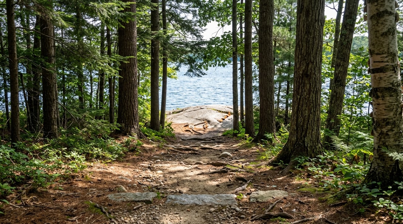
Evaluate the land and water
The physical site will make or break your design and budget. Bring a surveyor and geotechnical engineer into the lot walk early, and use the checks below to frame your decision.
Topography, bedrock and soils
Muskoka sits on the Precambrian Canadian Shield, with shallow soils, frequent rock outcrops, and pockets of deeper deposits. These conditions drive footing design, driveway routing, drainage, and septic options. Where shallow bedrock or limited soils occur, you may need raised or engineered septic beds and adapted foundation systems. For background on the region’s geology, see Ontario’s overview of ecozones and ecoregions.
Plan for a geotechnical investigation with test pits or boreholes before you finalize siting. The results inform bearing capacity, frost depth, and the feasibility of retaining walls and access roads.
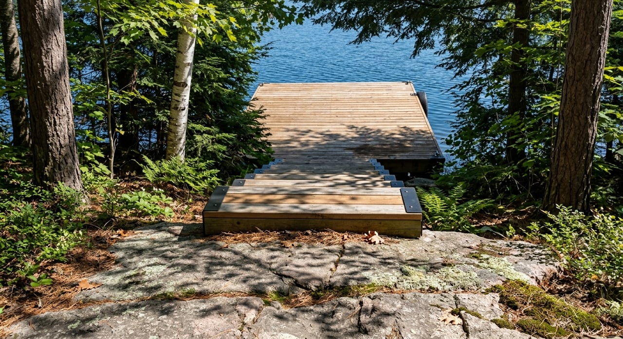
Shoreform, lakebed and water depth
Dock and boathouse feasibility hinges on lakebed conditions and depth at the exact mooring location. Bathymetry varies around Lake Muskoka. Public data offers basin-level context, but you still need site-specific soundings. Start with lake depth context here: Lake Muskoka bathymetry summary. Then do field soundings where you plan to berth your boats.
Substrate matters. Rock, boulder lag, sand, or organic mud will point you to piled, crib, or floating dock solutions. Dredging or placing cribs can trigger stricter review and mitigation requirements. For a practical sense of how municipalities approach in‑water works and permitting, see this shoreline and dock approvals overview.
Exposure, fetch and erosion
Open-water exposure increases wave energy and erosion risk. If your lot faces a long wind fetch, you will likely need more robust shore protection and anchoring, and you may choose deeper building setbacks. Also check seasonal water levels. Recent high-water events have increased erosion concerns across the watershed. Ontario’s advisory report on the Muskoka River watershed provides useful context on flood and water-level considerations: Protecting Muskoka River Watershed.
Natural features and fish habitat
Wetlands, fish spawning areas, and other natural features near the shore usually limit alteration and can add study requirements. Fisheries and Oceans Canada controls harmful alteration, disruption, or destruction of fish habitat, often called HADD, and applies a no-net-loss principle. If you cannot avoid impacts, you may need authorization and compensation. Review DFO’s policy context here: DFO Project Review Policies.
Vegetation and slope
Existing shoreline vegetation and slope help control runoff and phosphorus export to the lake. Municipal rules often limit cleared frontage, path widths, and tree removal within a Shoreline Activity Area. Preserving vegetation where possible reduces permitting friction and protects water quality. A good municipal guide to shoreline controls appears in this applications and permits resource.
Access, utilities and servicing
Shoreline living adds logistics. Confirm the basics early so you can budget and schedule with confidence.
Road and boat access
Confirm legal, year‑round access. Is it a municipal road, a private deeded road, or a right‑of‑way across another parcel? If access is by boat, factor in barging costs, winter access planning, and emergency response time. Recheck OSRA status because an open OSRA can affect how you legally reach the water. The OSRA closure guide outlines process steps and fees so you can plan ahead.
Electricity and service extensions
Rural Muskoka properties are typically served by Hydro One or a local distributor in town cores. Long runs may require private transformers or temporary construction service. Get an early extension quote and confirm planned loads, including EV charging. Municipal utility pages list the local providers; start here for a concise directory in Gravenhurst: Utilities and services.
Water supply
Most waterfront builds rely on private wells or surface-water cisterns. Test yield and quality early. If you plan lake-drawn systems for irrigation or fire protection, discuss intake location and seasonal levels with your designer and the municipality.
Septic system feasibility
Onsite sewage systems fall under Part 8 of the Ontario Building Code. In shallow soils or near bedrock, you will likely need engineered or advanced-treatment systems. Engage a licensed septic designer early for a site evaluation, percolation testing, and a conceptual plan. The governing regulation is here for reference: Ontario Building Code, Septic Systems.
Internet and communications
Broadband varies by shoreline and township. Town cores may have fiber or cable. Remote shores and islands often rely on fixed-wireless or satellite. Verify options and speeds for your planned use case, including remote work and home automation. For a local snapshot of providers, see Gravenhurst’s utilities page.
Permits and a typical path
Every project is different, but most Lake Muskoka builds follow a similar review flow. Budget time for each step and expect municipal and federal processes to run in parallel.
- Pre‑consultation with the area municipality and, where applicable, the District. Planning staff flag shoreline controls, site plan triggers, and any lake-system health considerations. A helpful municipal primer on permits and planning is here: Applications and permits.
- Title and survey. Confirm frontage, OSRA status, easements, and rights‑of‑way. If you need to close an OSRA, the OSRA closure guide outlines survey and notice requirements.
- Technical investigations. Complete a topographic and shoreline survey, geotechnical boreholes and recommendations, septic site evaluation with percolation tests and conceptual Part‑8 design, bathymetric soundings at dock locations, and natural heritage or fish habitat screening. For depth context, see Lake Muskoka bathymetry. For fish habitat policy context, see DFO policies.
- Municipal approvals. Depending on the project, you may need minor variance, consent, site plan approval, and building permits. Shoreline clearing is often limited by Shoreline Activity Area rules.
- Provincial and federal authorizations. Some boathouses and in-water works require approvals from MNRF, DFO, or Transport Canada. These reviews can add weeks or months, especially where fish habitat or navigation is affected.
- Construction permits and inspections. Municipal inspectors close building and septic permits after required inspections. Muskoka Lakes operates a sewage system maintenance and inspection program; you can view details here: SSMIP overview.
Timing varies by site and scope. Pre‑offer diligence can be completed in a few weeks when coordinated. Municipal permits may take several weeks to a few months from a complete submission. If federal in‑water authorizations are required, add more time. Always build buffer into your schedule.
A focused due‑diligence checklist
Use this practical checklist before you remove conditions or commit to final design:
- Confirm your area municipality and shoreline zoning with planning staff. Note setbacks, Shoreline Activity Area limits, coverage, and dock rules.
- Order a current survey or certified reference plan showing high‑water mark and side lot lines extended into the lake.
- Run a title search for OSRA, easements, restrictive covenants, or conservation easements. Start OSRA closure if needed using the municipal process.
- Visit the site at different water levels if possible and commission a topographic and shoreline survey.
- Complete geotechnical boreholes and obtain foundation and driveway recommendations in writing.
- Book a septic site evaluation with a licensed Part‑8 designer and request a conceptual design that flags pump or advanced-treatment needs.
- Take bathymetric soundings at the proposed dock location and assess exposure, boating draft, and potential dredging.
- Screen for wetlands, fish habitat, and species at risk. If present, retain an aquatic or environmental consultant early.
- Request an electrical service-extension quote and confirm transformer needs and EV charging capacity.
- Verify internet options and a plan for construction-time connectivity.
- Check flood and water-level information and plan building elevations and shore protection accordingly.
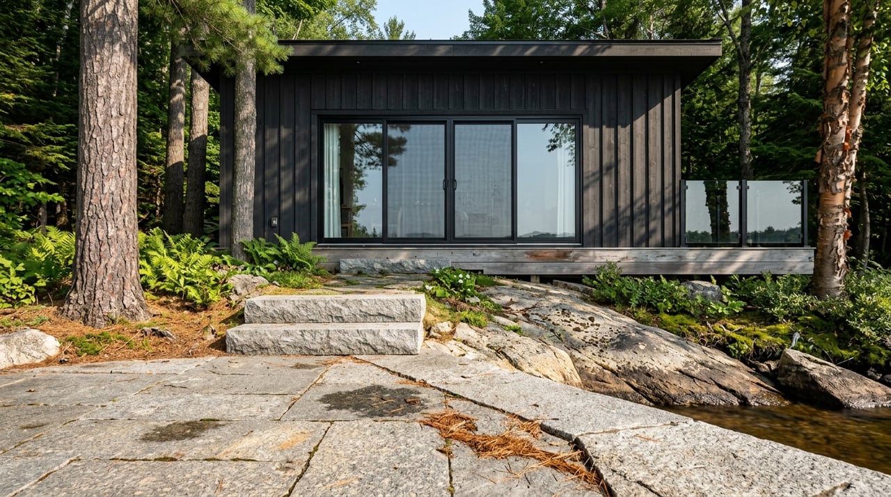
Design with the lake in mind
Responsible design protects both your investment and Lake Muskoka. Keep disturbance low, preserve shoreline vegetation where you can, and plan compact construction access routes. For exposed sites, increase structural resilience at the dock and consider deeper setbacks. A robust revegetation plan after construction will support water quality and help approvals move smoothly.
How we help you choose well
Selecting the right lot is a blend of local knowledge, technical due diligence, and an honest view of logistics and timing. As seventh‑generation cottagers and a boat‑first team, we help you compare sites around Lake Muskoka with a clear eye on bedrock, shoreform, access, and approvals. We coordinate private, water-access viewings, connect you with trusted surveyors, engineers, and septic designers, and help you build a pre‑offer plan that de‑risks your purchase and keeps your build timeline on track.
If you are weighing a Lake Muskoka lot for a custom build, let’s talk privately about your goals and the sites that fit. Connect with The Blair Group to get started.
FAQs
What rules govern docks and boathouses on Lake Muskoka?
- Placement is limited by municipal setbacks and shoreline controls, and in‑water works may also need provincial or federal review where fish habitat or navigation is affected. Submit dock and boathouse plans early to confirm approvals and timing.
Why does an Original Shore Road Allowance (OSRA) matter when buying a lot?
- An open OSRA means you may not own to the water’s edge, which affects legal access and shoreline structures. Closing an OSRA requires a formal municipal process with survey, notice, and fees, so start early if needed.
How do I know if a septic system will work on a rocky site?
- Hire a licensed Part‑8 designer to complete a site evaluation and soil testing. On shallow bedrock, expect engineered or advanced-treatment systems; in some cases, septic limitations can be a go or no‑go for the lot.
How long do permits take for a custom build on Lake Muskoka?
- With complete studies and no major environmental triggers, municipal permits often take weeks to a few months. If in‑water authorizations are required, approvals can add several weeks or months. Build buffer time into your schedule.
What should I check if a property is boat access only?
- Price out barging for materials, plan winter access and emergency response, and confirm power and internet options. Factor these logistics into budget, schedule, and everyday use.